Kentuckians are being urged to avoid unnecessary travel as a massive winter storm brings snow, sleet and freezing rain.
“We have a long day and night ahead of us,” Gov. Andy Beshear said at a news conference in Frankfort.
Pulaski County to Barren County and areas in between appear to be the most heavily impacted.
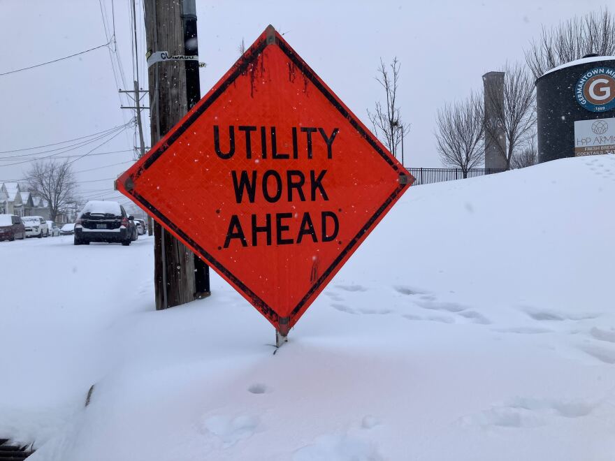
As of mid-morning, there were 60,000 power outages across the state, mostly in the southern and eastern regions. The number of outages is expected to climb throughout the day and evening as the ice storm continues. Beshear said emergency responders are reaching out to hospitals and nursing homes.

“I’m anticipating challenges potentially through Monday,” Beshear said. “Once the temperature gets below a certain amount, what we use to treat the roads just doesn’t work as well.”
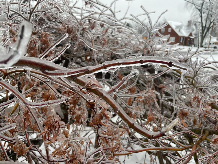
Ice remains the greatest concern through Monday morning. Bowling Green to Campbellsville, Richmond, Morehead and Ashland could see up to a quarter inch of ice, according to Beshear’s office.
Many of the largest concentrations of customers without power were among electric cooperatives in south central and southeast Kentucky.

More than 21,000 South Kentucky RECC customers were without power, followed by Tri-County EMC with more than 15,000, Jackson Energy Cooperative with more than 9,000 and Farmers RECC with more than 5,000.
Pulaski County had the most outages, at 10,000. Allen, Barren, Laurel and Monroe counties all had more than 5,000 outages. In McCreary, more than half the county’s customers were without power.
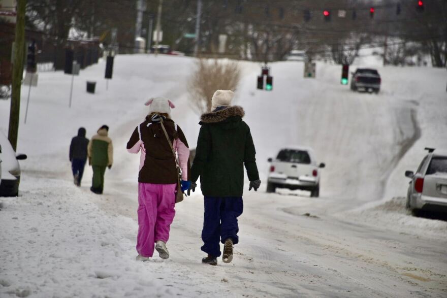
Sunday afternoon arrived, and precipitation in Louisville was at the lower end of what was predicted.
“This was still and still is as the snow continues to come down right now, a very significant winter event, a significant amount of snowfall for Louisville,” Mayor Craig Greenberg said at a press conference.
LG&E reported less than 1,000 customers near Louisville without power as of Sunday afternoon. Work crews cleared roads in the city and across the river in Southern Indiana, but snow continues to pile up, needing nearly constant attention to stay clear. Louisville residents can see maps of road conditions and other storm related resources here.

Brian Neudorf with the National Weather Service said the city could pick up another 1-2 inches of snow before it tapers off Sunday evening. The winter storm warning expires Monday morning, but a cold weather advisory goes into effect at midnight transitioning to an extreme cold warning.
Kentucky currently has 113 warming centers across the state for those facing an outage. To find a warming center or for additional assistance, resources can be found on Kentucky Emergency Management’s website.
The Jefferson County Sheriff’s Office will delay enforcing evictions and set-outs through Feb. 2., which according to a news release will prevent around 30 families from being displaced during the hazardous weather.
Jefferson County Public Schools, the state’s largest school district, canceled school Monday and Tuesday.

The Kentucky National Guard began making rounds in local communities Saturday. They’re continuing to do wellness checks and prepare for any needed transports due to power outages.
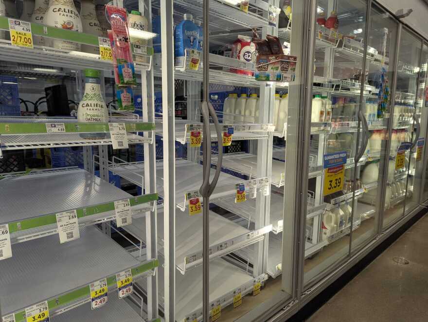
Gov. Beshear urged drivers to stay off the roads unless it’s an emergency due to the threat of becoming stranded and low fuel availability at many gas stations.
“Our crews continue to work long 12-hour shifts to respond and adapt to changing conditions, but travelers with a Monday commute should anticipate significant issues, as the storm will continue into the morning,” Kentucky Transportation Secretary Jim Gray said.
President Donald Trump has approved an emergency disaster declaration for Kentucky in response to the storm.
This story has been updated with additional information.
Rebecca Feldhaus Adams contributed to this reporting.


